Description
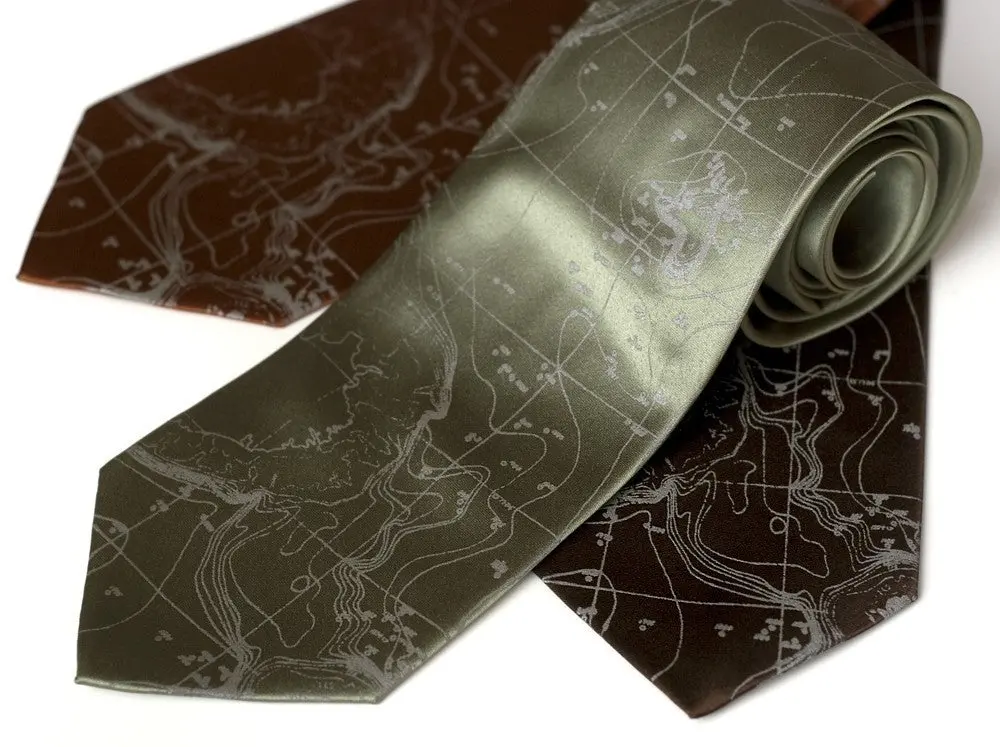
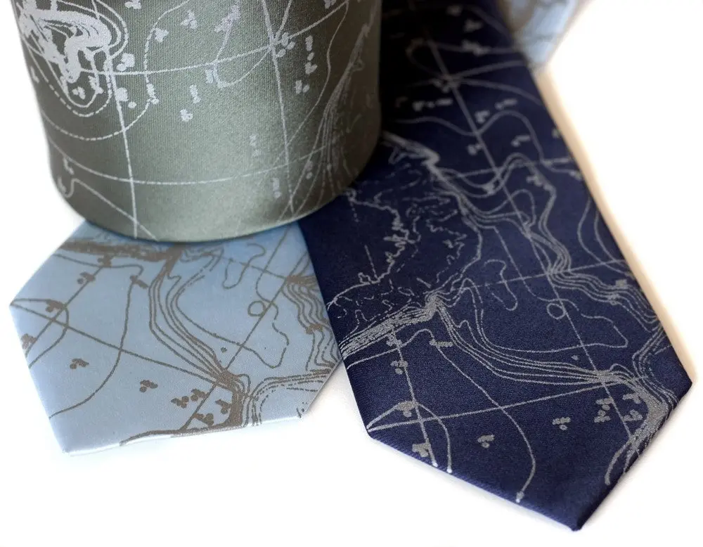
Scandinavian Waters Necktie, Bathymetric Chart Contour Map Silk Tie, “Topographical Error” Print. A large area of the tie is printed with distressed remnants of 1900’s sea-depth estimates taken in Scandinavian waters. These levels are rapidly changing now due to climatic shift.
• Pattern: Norwegian Sea floor map.
• Fabric: 100% silk
• Printing ink: Non-toxic, waterbased ink.
• Print size: ~16″ tall.
• Tie Size: Standard or Narrow.
• Print Color: dove or navy.
• Tie Color: Your choice from dropdown menu.
• Care: Gently spot clean or dry clean.
• Creases and folds? Iron medium.
Perfect gift for residents and visitors of Norway, Iceland, Sweden, Finland, Spitsbergen, Denmark, Scotland!
A bathymetric chart is the submerged equivalent of an above-water topographic map. Bathymetric charts are designed to present accurate, measurable description and visual presentation of the submerged terrain.
Explore more from our collection.
Reviews
There are no reviews yet.